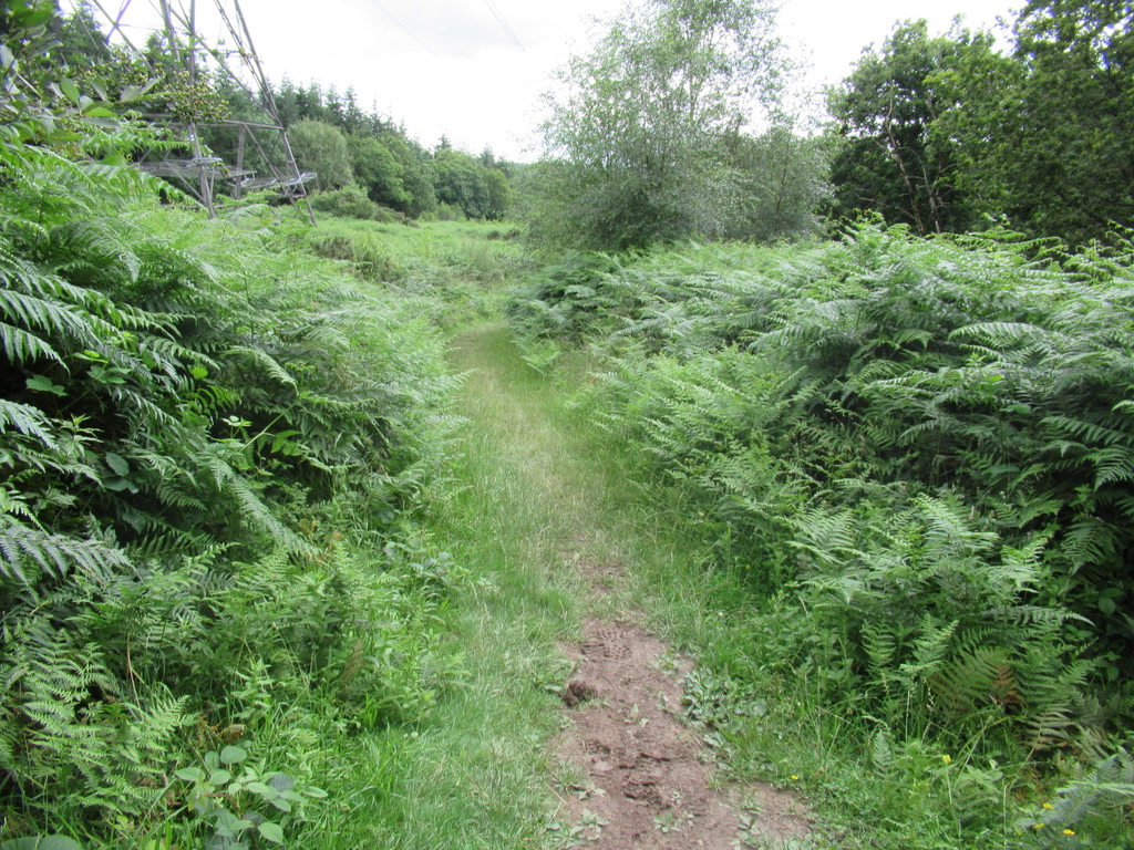
This route takes you out of the Country Park, so the path beyond the Park is a bit rougher. Location : Stover Starting Point : Outside the Rangers Office OS Grid Reference : SX832750 Distance : 9.3 Miles Route Surface : Asphalt, Stone Track Category : Level 3 A mobility scooter is available for hire …
Category archives: Level Three
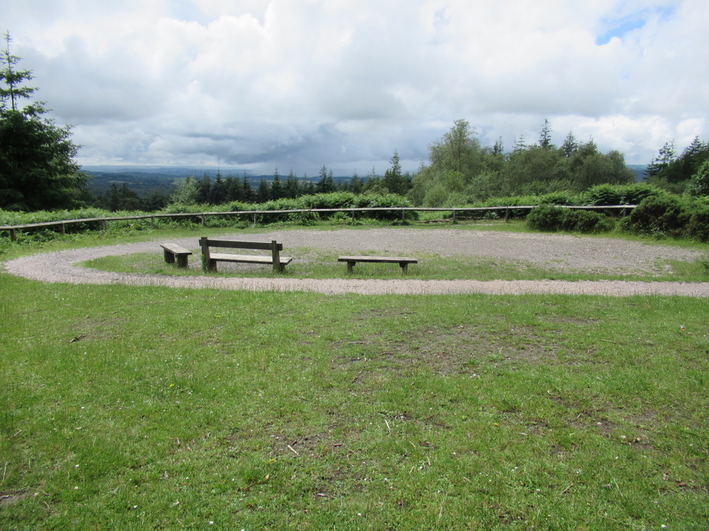
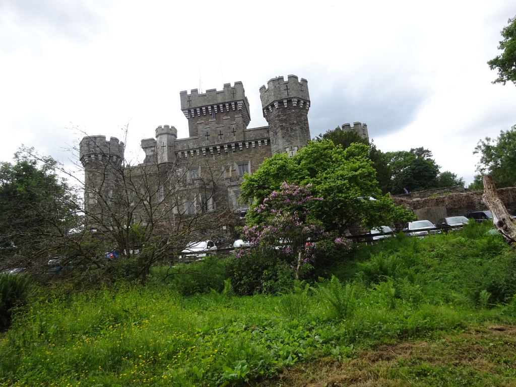
Pump & Pedal to Lake Viaduct
Although it is a short ramble mainly on Asphalt, there is a short section of Permissive path. The permissive path is narrow and quite rough, with a heavy five bar field gate at one end. with a lighter one at the other end. Location : Sourton Starting Point : Pump & Pedal Cafe OS Grid …
Dunmere Halt to Wensford Bridge
This is a ramble on the Camel Trail from Dunmere Halt up past the old China Clay drying sheds to the Snails Pace Cafe. Location : Bodmin Starting Point : Camel Trail carpark Borourgh Arms Dunmere OS Grid Reference : SX048675 Distance : 13.4 Miles Route Surface : Mostly fine Gravel Category : Level 3 …
Dunmere Halt to Wadebridge
Another route on the Camel Trail, this time using the section that goes Bodmin to Padstow via Wadebridge. Location : Bodmin Starting Point : Camel Trail carpark Borourgh Arms Dunmere OS Grid reference : SX048675 Distance : 10.8 Miles Route Surface : Asphalt and fine Gravel Category : Level 3 There are no toilets in …
Haldon Butterfly Trail
This is a short Level 3 and the most challenging of the 5 trails I have listed at the Forestry England Haldon location. Location : Haldon Forest Starting Point : Haldon Forest Park OS Grid Reference : SX881849 Distance : 2.9 Miles Route Surface : Mainly good gravel surface, but a couple sections of stoney …
Haldon Raptor Trail
Although this is a short ramble it is a Level 3 due to steep hills, so an All Terrain Scooter is required. Location : Haldon Forest Starting Point : Haldon Forest Park OS Grid Reference : SX881849 Distance : 2.9 miles Route Surface : Either fine gravel or coarse gravel. Category : Level 3 A …
Avon Dam Level Three
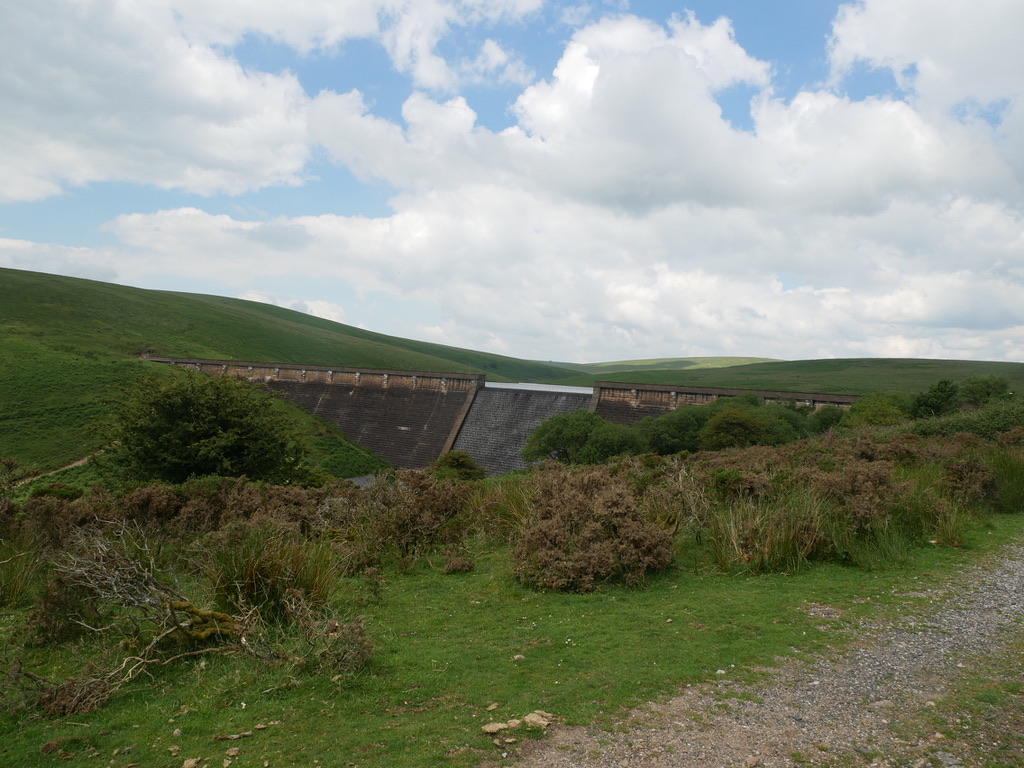
This Level Three route takes you to the top of the Dam, following a rough track for the last half mile. Location : Near South Brent Starting Point : Shipley Bridge car park OS Grid Reference : SX681629 Distance : 3.5 Miles Route Surface : Mostly Asphalt, with nearly half a mile of rough stoney …
Swans Nest to Starcross
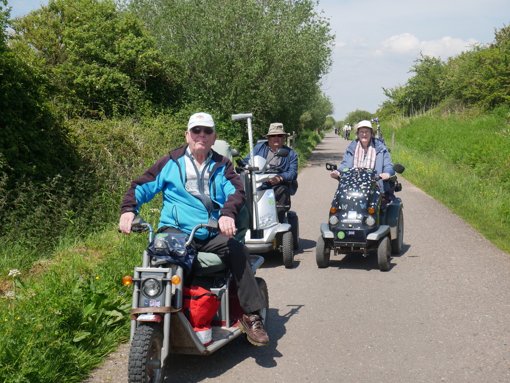
This route is a section of the Exe Estuary Trail from the Swans Nest to Starcross. Showing our friend from Cornwall some of our local routes, close to our home. Location : Exminster Starting Point : Swans Nest car park (with permission ) RSPB Exminster Marshes car park OS Grid Reference : SX954873 Distance : …
Park Cliffe to Wray Castle
This Ramble involved a short section on a busy A road, also crossing Lake Windermere on the ferry. Location : Windermere Starting Point : Park Cliffe Caravan & Camping Site. OS Grid Reference : SD390909 Distance : 19.5 miles Route Surface : Asphalt for 70% and stoney woodland track 30% Category : Level 3 As the …
Monk Coniston to High Nibthwaite
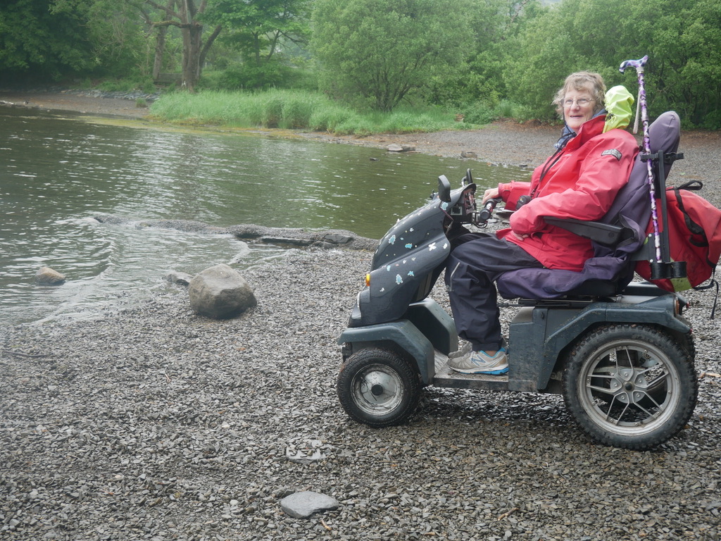
This was a wet weather option, to avoid the low cloud covering the hills. We followed a lane running the length of Coniston Water on it’s eastern side Location : Coniston Water (northern end) Starting Point : Monk Coniston car park OS Grid Reference : SD317978 Distance : 11.5 Miles Route Surface : Asphalt Category …