I am using a different mapping software and this is the first ramble using the new software. Click on the Learn more for details of the ramble.
Category archives: Level Three
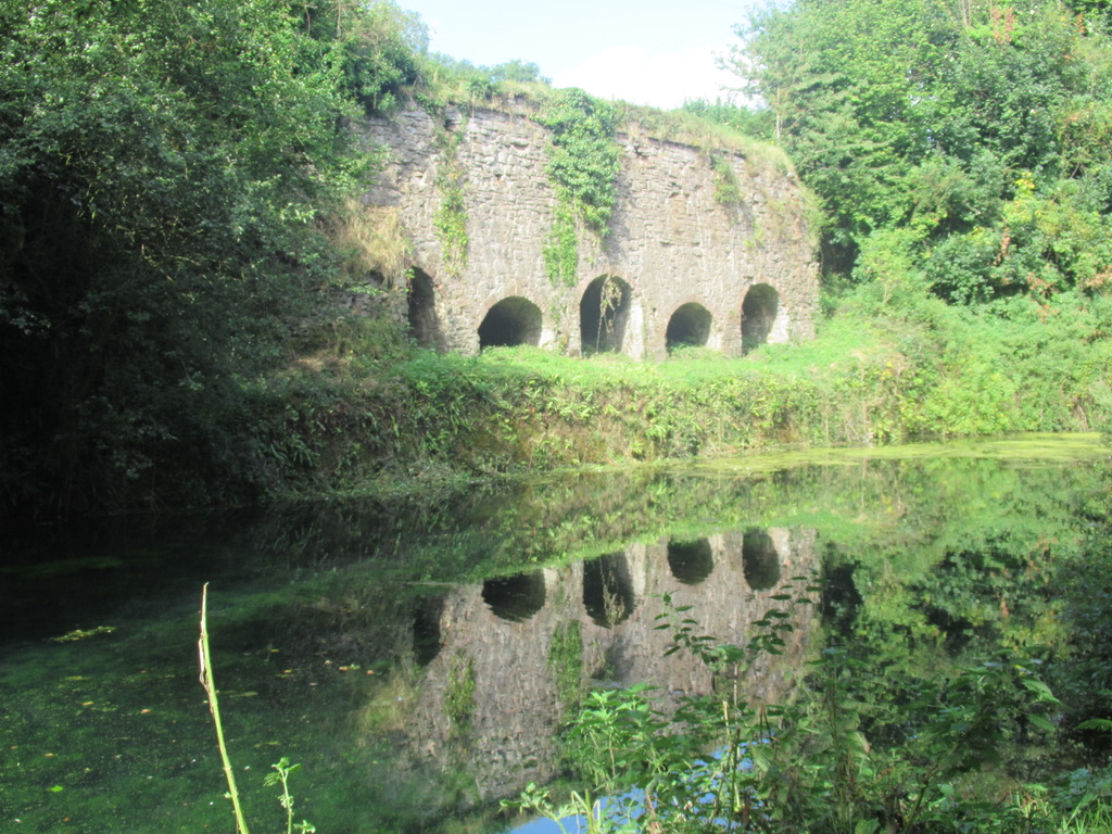
Meeth Quarries
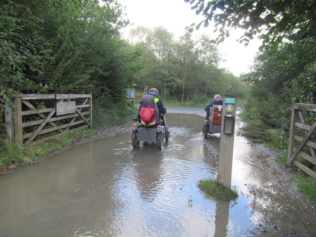
This is a short Level 3 route, which can be lengthened up to between 4 to 5 miles. This is also the starting point of the Tarka Trail, which is a traffic free cycle path to Braunton via Bideford and Barnstable. Location : Meeth Starting Point : Devon Wildlife Trust car park OS Grid Reference …
Grand Western Canal Route 1
Route 1 is a ramble along the eastern end of the canal from Sampford Peverell to Lowdwell Lock, This route is a Level 2 as far as Waytown Tunnel, where the route crosses a road. There is a steep slope up to the road, with a gate and a short steeper slope the other side …
Pullabrook & Yarner Woods
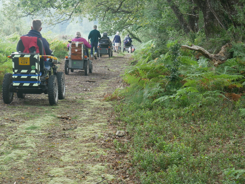
This is a level 3 ramble through two different types of woodland, with Yarner Woods being part of a National Nature Reserve. Location : Northwest of Bovey Tracey Starting Point : Pullabrook car park near Drakeford Bridge OS Grid Reference : SX789801 Distance : 3.4 Miles Route Surface : Stoney Woodland Track Category : Level …
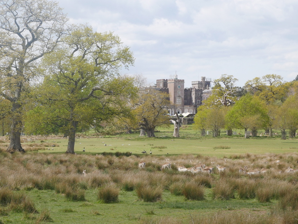
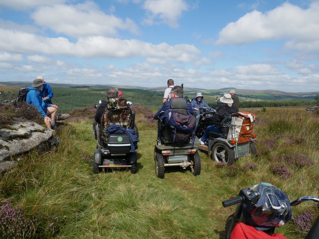
Sousons Woods & Challacombe Farm
This is a short Level 3 ramble with the emphasis on the 5000 years of history, which is visible on the farm. Location : Between Postbridge and Widecombe in the Moor Starting Point : Challacombe Farm OS Grid Reference : SX695796 Distance : 4.5 miles Route Surface : Grass, Stoney Sections of Track Category : …
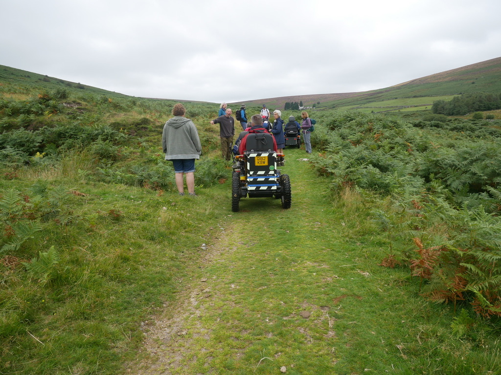
DWF Belstone Ramble
This was the most difficult of the Dartmoor Walking Festival Accessible Walks. Location : Belstone Starting Point : Car Park on the edge of the village OS Grid Reference : SX622938 Distance : 4.75 Miles Route Surface : Asphalt, Grass, Stone Track (very rough in places) Category : Level 3 Plus The route starts as …
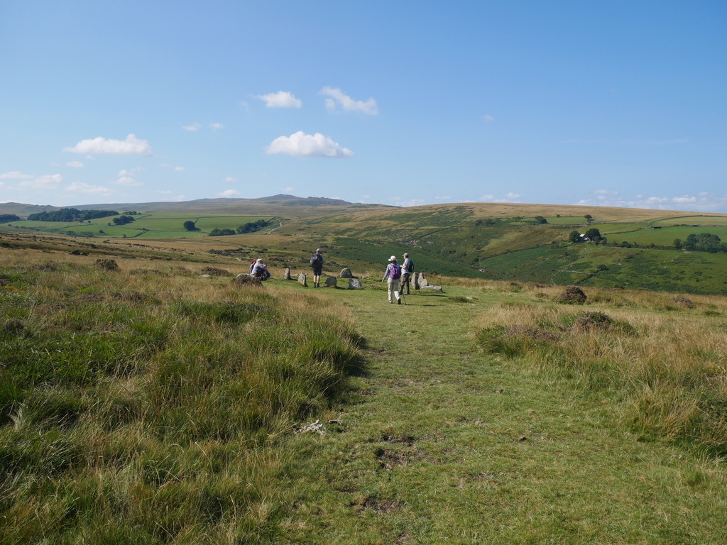
Bellever & Dunnabridge Pound
This is a route from the 2021 Dartmoor Walking Festival Accessible Walks. On the day the ground was dry enough to include a short spur out to Laughter Tor and back . Location : Bellever Dartmoor Starting Point : Forestry England car park. OS Grid Reference : SX655771 Distance : 5.3 Miles Route Surface : …
Caen Hill Locks
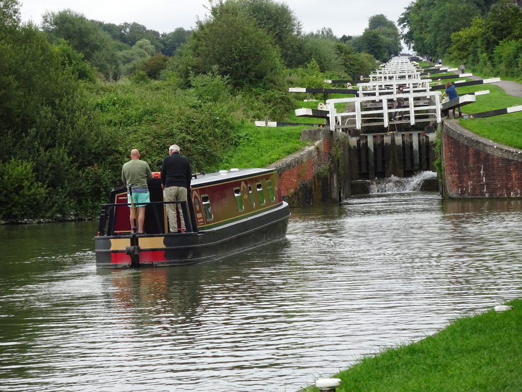
This is a lovely ramble from Semington to Caen Hill Locks near Devizes. Location : Semington Starting Point : Bridge north of Semington OS Grid Reverence : ST900612 Distance : 12.4 miles Route Surface : Gravel with pot holes Category : Level 3 This route is on the towpath of the Kennet & Avon canal, …
Godrevy and Knavocks
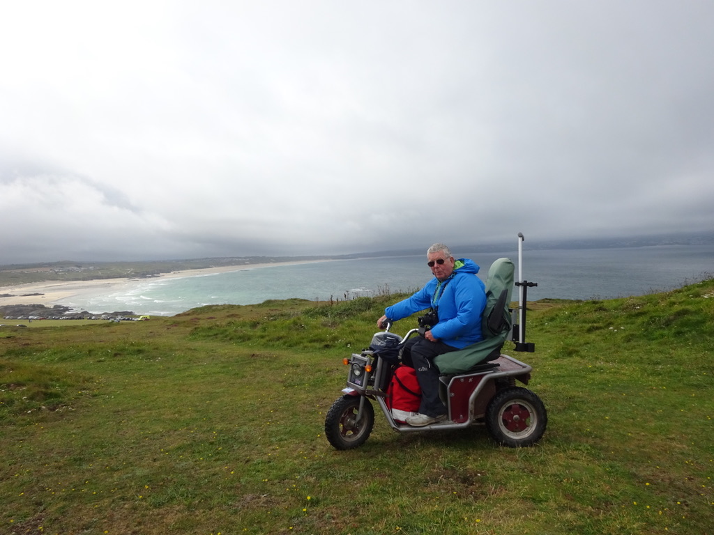
This is a short ramble giving lovely views of St Ives Bay to the west, while to the east you have views of North Cliffs. Location : Gwithian Starting Point : National Trust Field Car Park Godrevy OS Grid Reference : SW581431 Distance : 1.9 Miles Route Surface : Fine Gravel / Sand. Grass / …
Fingle Bridge to Wooston Hill Fort

This is a level 3 due to the climb up to the Fort, then a steeper decent back down to the river valley. Location : Near Drewsteignton Starting Point : Fingle Bridge Inn OS Grid Reference : SX742899 Distance : 4.4 Miles Route Surface : Gravel / Small Stone Category : Level 3 This walk …