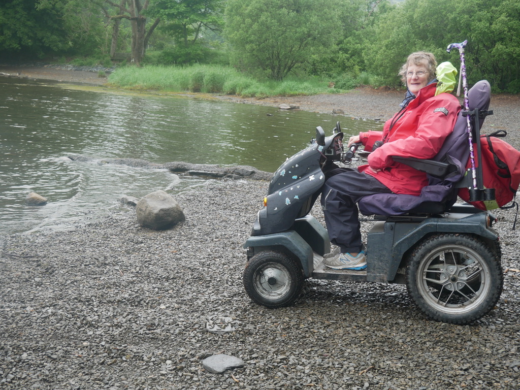
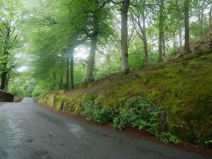
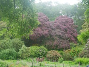
This was a wet weather option, to avoid the low cloud covering the hills. We followed a lane running the length of Coniston Water on it’s eastern side
Location : Coniston Water (northern end)
Starting Point : Monk Coniston car park
OS Grid Reference : SD317978
Distance : 11.5 Miles
Route Surface : Asphalt
Category : Level 3
This is a easy ramble on a quiet country lane, but giving it a Category 3 rating as it is over 10 miles long. The ramble could be shortened by only going as far as Brantwood, more details can be seen at https://www.brantwood.org.uk/
Brantwood is an additional option, but having looked at their website, the paths did not look very Tramper friendly. So we just did the out and back on the lane, enjoying the birdsong etc.