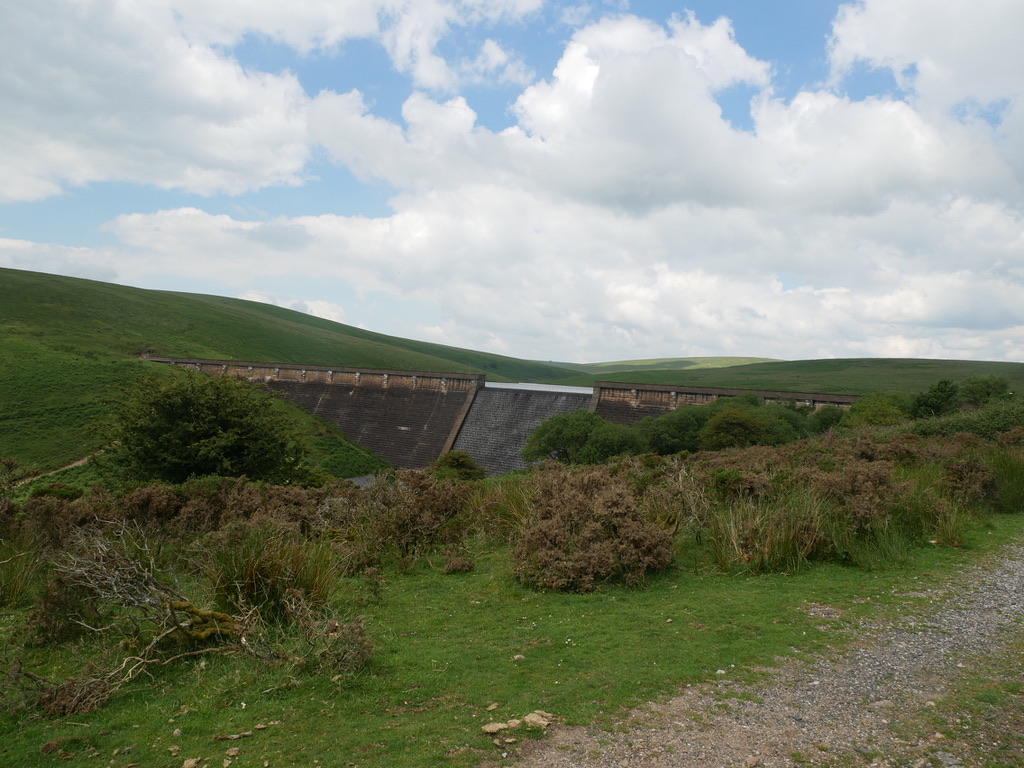
This Level Three route takes you to the top of the Dam, following a rough track for the last half mile. Location : Near South Brent Starting Point : Shipley Bridge car park OS Grid Reference : SX681629 Distance : 3.5 Miles Route Surface : Mostly Asphalt, with nearly half a mile of rough stoney …
Daily archives: 1st July 2021
Avon Dam Level One
This ramble is an easy Level 1 up to the base of the Avon Dam Location : Near South Brent Starting Point : Shipley Bridge car park OS Grid Reference : SX681629 Distance : 3.6 Miles Route Surface : Tarmac apart from the car park Category : Level 1 The biggest problem for people with …
Exeter Quay to Station Road Exwick
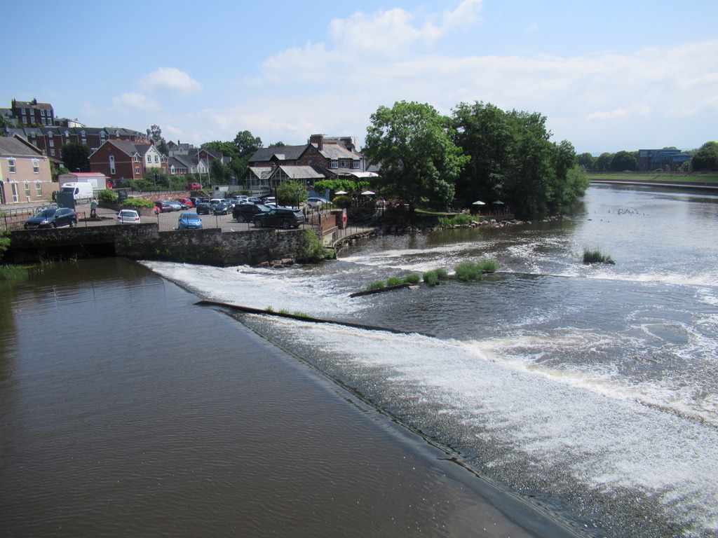
This is a nice easy Level One route, alongside the River Exe and the Flood relief channel. Starting at Exeter Quay, heading north towards Station Road Exwick. But there are several places you can start the Ramble. Location : Exeter Starting Point : Exeter Quay OS Grid Reference : SX920921 Distance : 3 Miles Route …
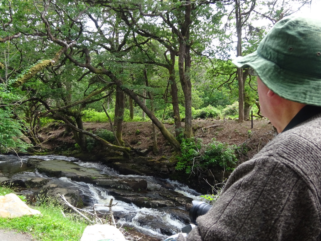
Shipley Bridge to Avon Dam 30/6/21
Today we went to Shipley Bridge, so that I could map the walk for my new Accessible Walks page. We had done less than half a mile, when my buggy lost power. After a few checks we decided to return to the van. We put the tow rope on, disengaged the motor and headed back …