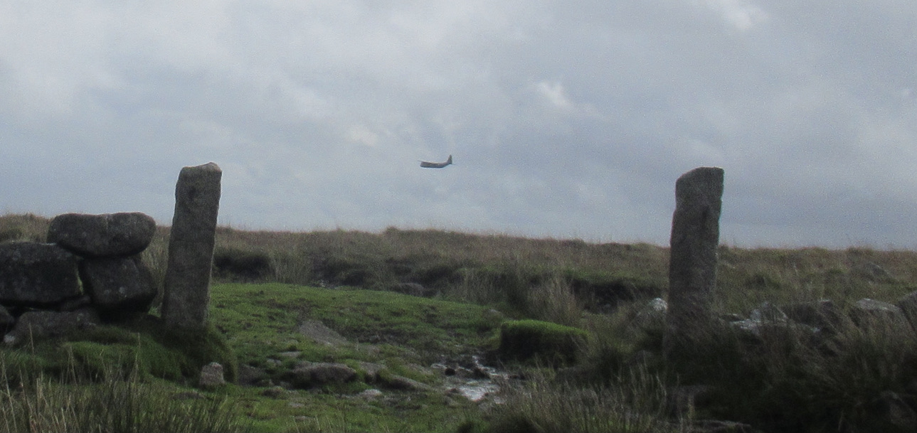
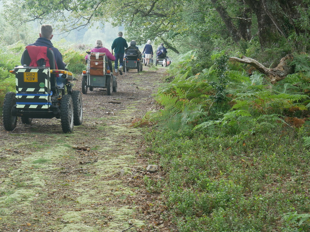
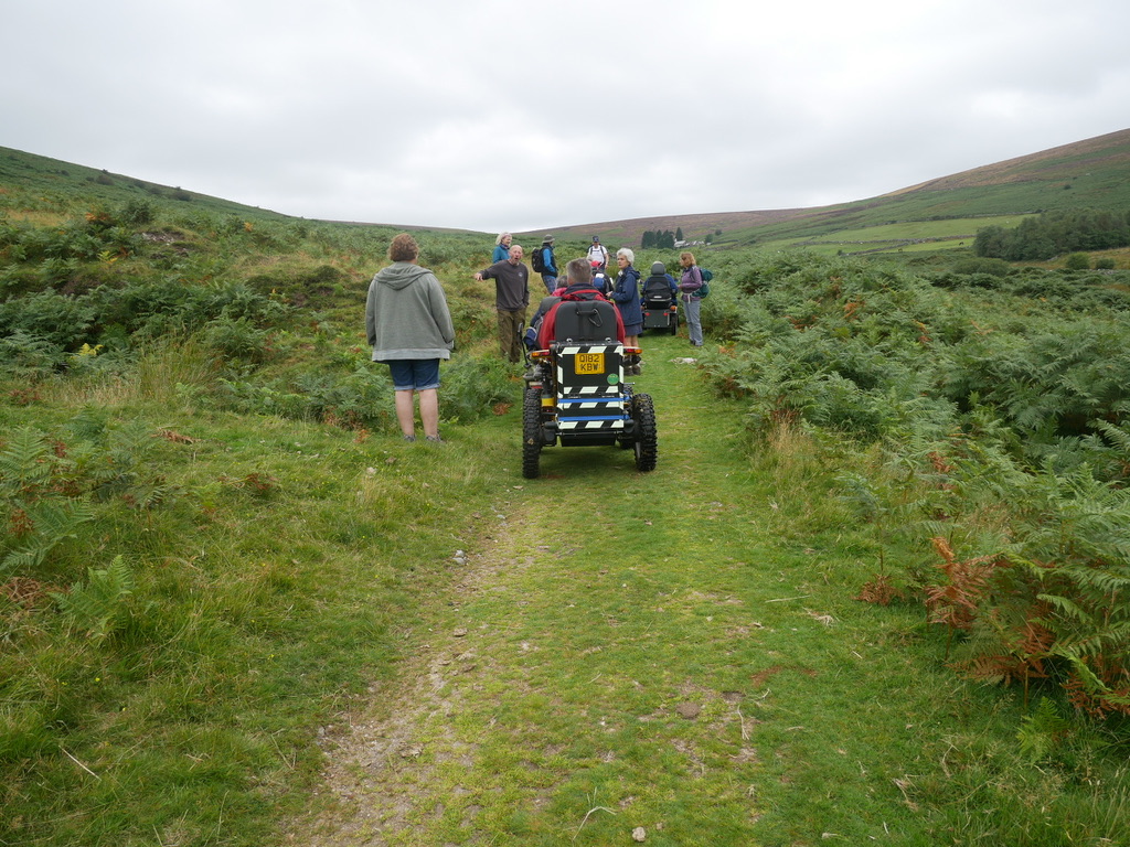
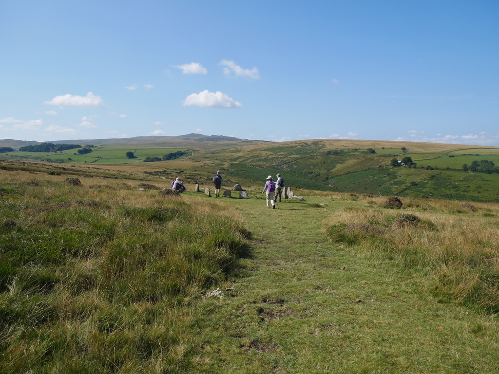
On Monday 4th October a small group of WAGs members, met at Princetown for a filming session on the Nunns Cross path. The Dartmoor National Park are celebrating 70 years later this month. Therefore they are making a video to showcase all the different users of Dartmoor, from farmers and other workers on the moor. …
Author archives: Hopalong
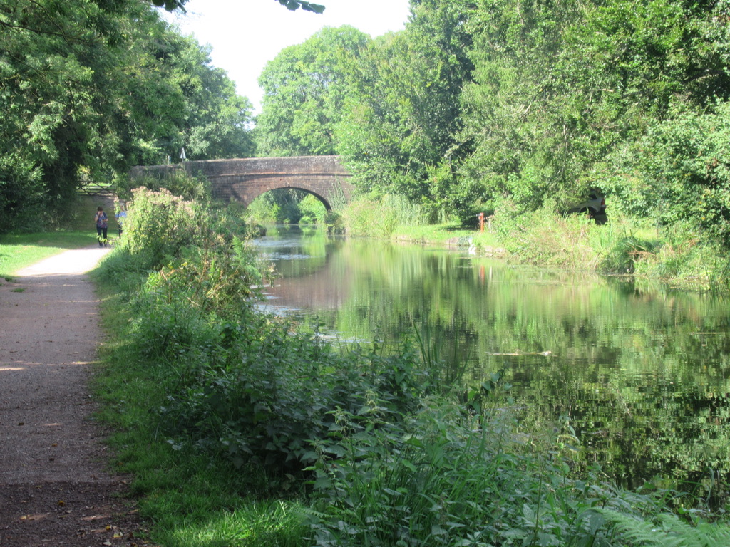
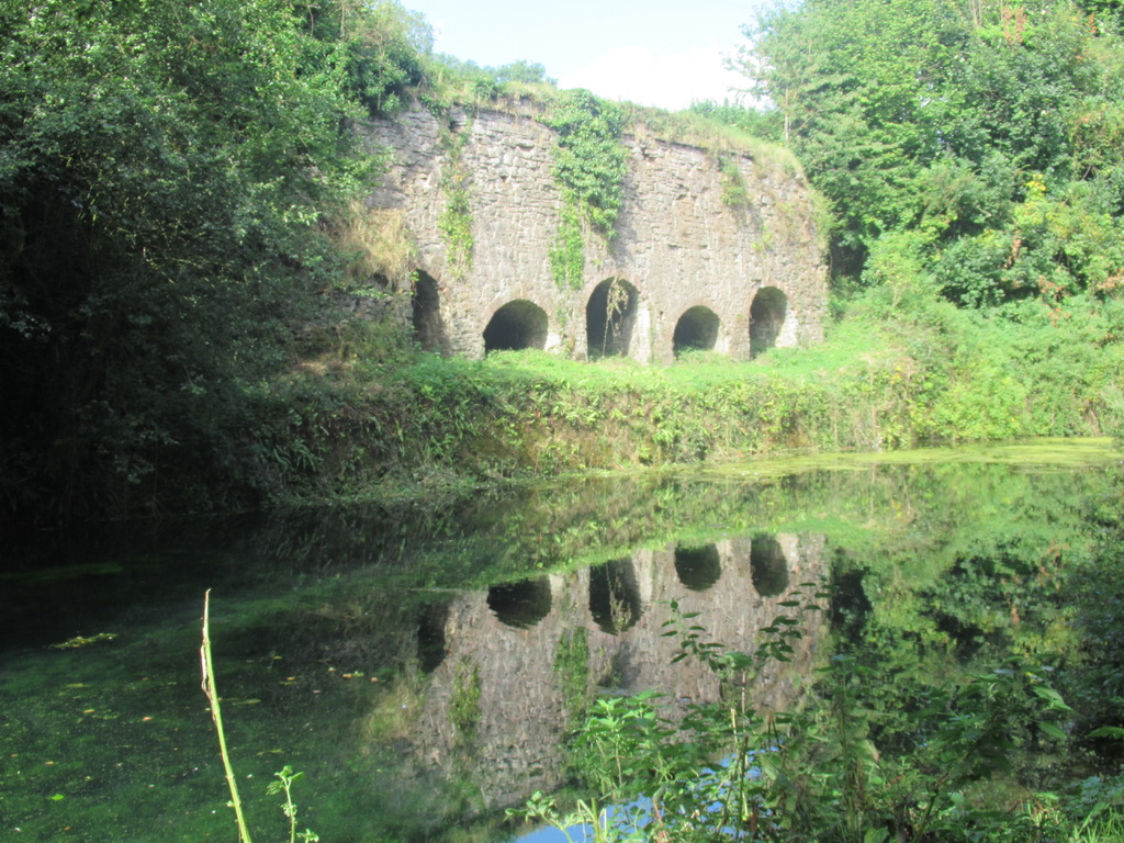
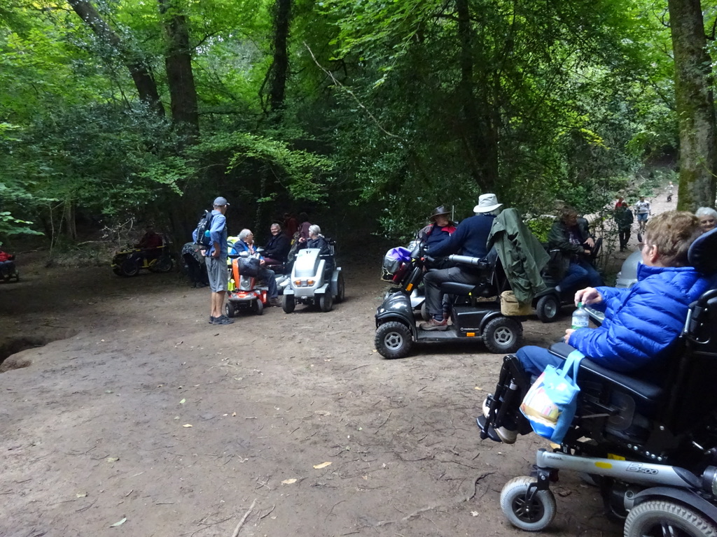
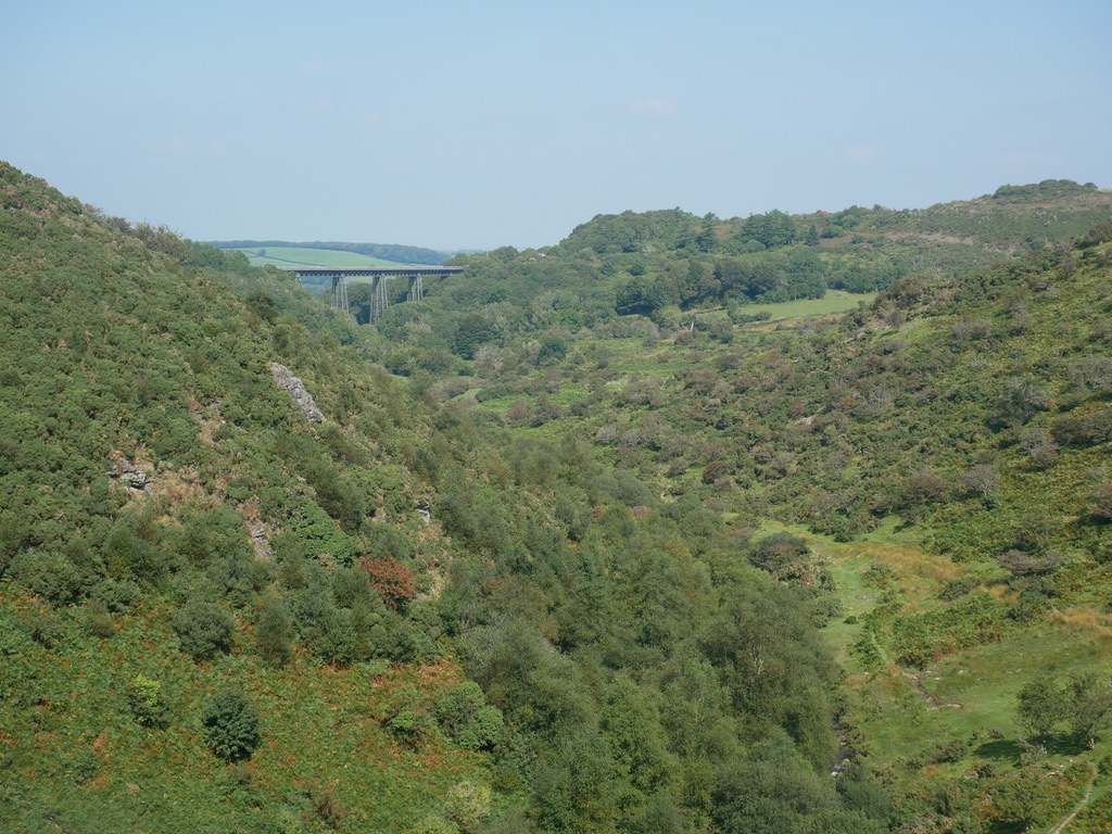
Clearbrook / Drakes Trail

Today we met Norman at Clearbrook, on a rather wet Saturday morning. We headed south on the Drakes Trail to Plymbridge Woods, with the rain stopping for the last 5 minutes of the journey. We had dry conditions for the rest of the day, with a bit of sunshine for the last hour or so. …
Grand Western Canal Route 2
This Route can be started from Sampford Peverell, or Tiverton Road car park near Halberton. Location : Sampford Peverell Starting Point : Village Car Park OS Grid Reference : ST032144 Distance : 7.4 Miles Route Surface : Gravel Category : Level 2 This is a nice level walk on gravel, with a bit of extra …
Grand Western Canal Route 1
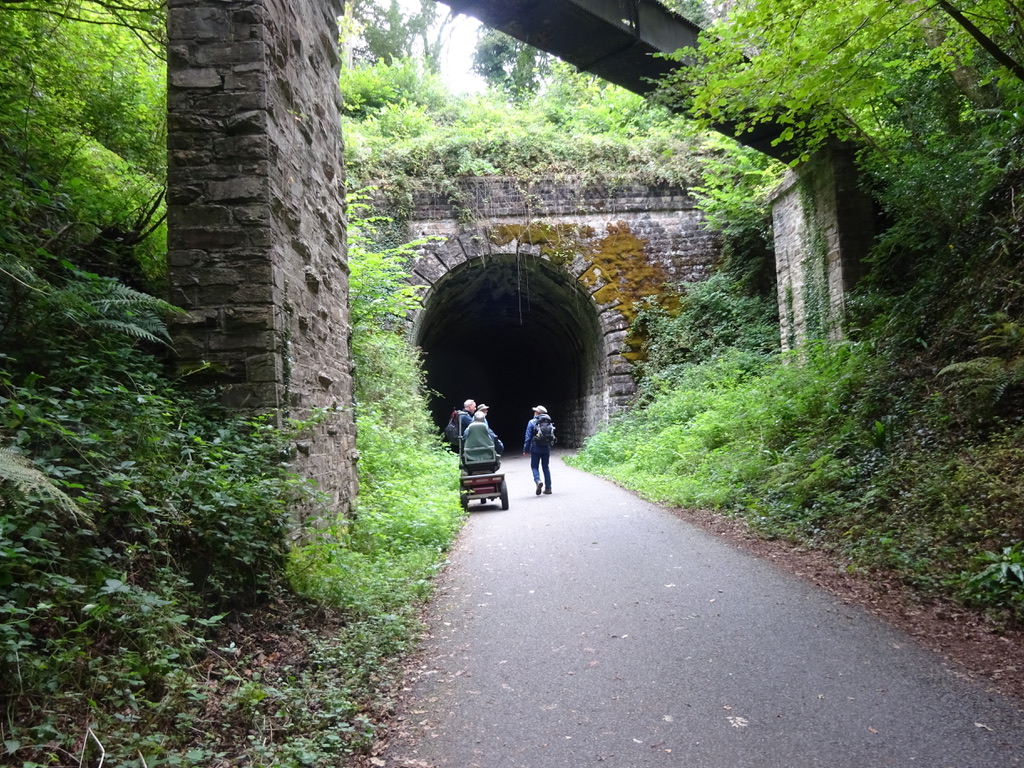
Route 1 is a ramble along the eastern end of the canal from Sampford Peverell to Lowdwell Lock, This route is a Level 2 as far as Waytown Tunnel, where the route crosses a road. There is a steep slope up to the road, with a gate and a short steeper slope the other side …
Wray Trail
This ramble was the last of the eight accessible walks, of the Dartmoor Walking Festival 2021. Location : Bovey Tracey Starting Point : Car Park by the river OS Grid Reference : SX781813 Distance : 3.3 Miles Route Surface : Asphalt, Gravel. Category : Level 1 This walk is a level walk apart from a …
Granite Way & Meldon Reservoir
This route was part of the 2021 Dartmoor Walking Festival. It is an easy Level 1 route with a very short ( 10 meters ) steep path, from the Granite Way to the Reservoir road. Location : Sourton Starting Point : Pump & Pedal Cycle shop / Cafe OS Grid Reference : SX546917 Distance : …
Pullabrook & Yarner Woods
This is a level 3 ramble through two different types of woodland, with Yarner Woods being part of a National Nature Reserve. Location : Northwest of Bovey Tracey Starting Point : Pullabrook car park near Drakeford Bridge OS Grid Reference : SX789801 Distance : 3.4 Miles Route Surface : Stoney Woodland Track Category : Level …
Drakes Trail from Clearbrook
This is a Level One route which could be split into 2 shorter rambles, one of 3 miles and one of 4.8 miles. Location : Clearbrook Starting Point : Car Park on the right before the village OS Grid Reference : SX518651 Distance : 7.8 miles Route Surface : Mainly Asphalt, with a fine gravel …
Sousons Woods & Challacombe Farm
This is a short Level 3 ramble with the emphasis on the 5000 years of history, which is visible on the farm. Location : Between Postbridge and Widecombe in the Moor Starting Point : Challacombe Farm OS Grid Reference : SX695796 Distance : 4.5 miles Route Surface : Grass, Stoney Sections of Track Category : …
DWF Belstone Ramble
This was the most difficult of the Dartmoor Walking Festival Accessible Walks. Location : Belstone Starting Point : Car Park on the edge of the village OS Grid Reference : SX622938 Distance : 4.75 Miles Route Surface : Asphalt, Grass, Stone Track (very rough in places) Category : Level 3 Plus The route starts as …