This is a Level 3 ramble due to distance and gradients.
Location : Grizedale Forest
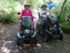
Starting Point : Bogle Crag Car Park
OS Grid Reference : SD338933
Distance : 13 Miles
Route Surface : Most of the route is fine gravel/crushed stone, with some sections of coarse loose stone.
Category : Level 3
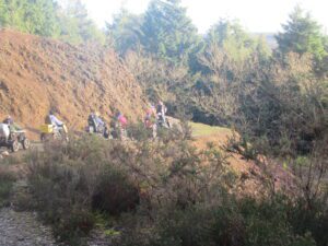
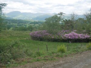
We parked at Bogle Crag Car Park, then making our way to the visitor centre along the lane. After picking up a leaflet of the various routes, we decided to do the green route. This is the Hawkshead Moor Trail and is 10.5 miles in length.
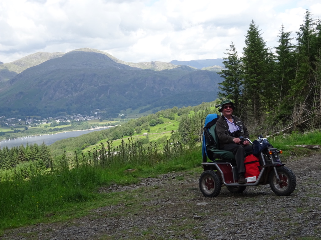
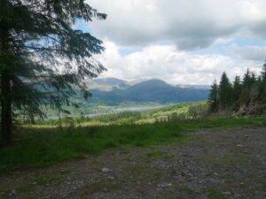
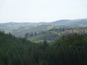
After completing the Hawkshead Moor Trail we went back to the van. As it was still early we decided to do a short section of the Grizedale Tarn Trail. We climbed the hill up from Bogle Crag car park to a point where we had spectacular views. Here we stopped to enjoy a cup of tea in the sunshine, before heading back to the van.
A very easy Level 3 route as most of the track is maintained to a very high standard. It is easy for any All terrain mobility scooters, providing the batteries are in good condition to give the range. We both have Lithium batteries in our Trampers, using less than 40% of our battery charge.